Gwanda
City of Gold
Best Time to Visit
May to September for comfortable temperatures. October can be extremely hot before the rains arrive.
Getting There
Located on the A6 highway, approximately 160km south of Bulawayo and 220km north of Beitbridge. Regular bus services from Bulawayo.
Region
Matabeleland South
The Gold Country
Gwanda sits in the sun-baked lowveld of Matabeleland South, a rugged, semi-arid landscape of granite kopjes, dry river beds, and tenacious bush that has yielded gold for centuries. Long before European colonists arrived, the Rozwi people mined gold in the hills surrounding what is now Gwanda, and the region's mining heritage continues to shape its character today.
The town itself is compact, functional, and refreshingly free of pretension. As the provincial capital of Matabeleland South, it serves as the administrative and commercial hub for a vast rural hinterland that stretches south to the Limpopo River and the South African border. For travellers, Gwanda offers a genuine slice of Zimbabwean small-town life — a place where the pace is unhurried, the people are warmly hospitable, and the landscape has a stark, austere beauty.
Mining Heritage
Gold in the Hills
The hills around Gwanda have been mined for gold since at least the 15th century, and the region's mineral wealth was one of the driving forces behind European colonisation. Today, small-scale artisanal mining continues throughout the district, and the evidence of both ancient and modern mining is visible in the landscape — old shafts, tailings dumps, and the distinctive yellow-brown scars of recent diggings.
The region is also rich in other minerals, including asbestos (historically mined at Shabanie and Mashaba), chrome, and lithium. The mining industry remains the backbone of the local economy.
Natural Attractions
Mphoengs Hot Springs
Located approximately 30 kilometres from Gwanda, the Mphoengs Hot Springs are a natural geothermal feature where warm, mineral-rich water surfaces from deep underground. The springs have been used for bathing and relaxation for generations, and local communities attribute healing properties to the mineral waters.
Tuli Circle Safari Area
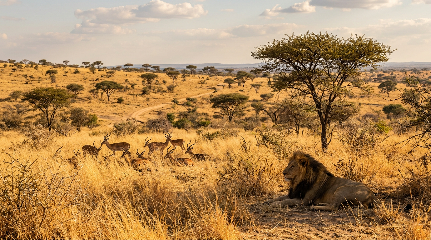
South of Gwanda, approaching the Limpopo River, the landscape transitions into the dry, game-rich bushveld of the Tuli Circle Safari Area. This remote area supports populations of elephant, leopard, wild dog, hyena, and a variety of antelope. Access is limited and facilities are basic, but for self-sufficient adventurers, the Tuli area offers a wilderness experience that is both challenging and deeply rewarding.
Mtshabezi River
The Mtshabezi River winds through the Gwanda district, providing a ribbon of green through the otherwise dry landscape. During the wet season, the river attracts significant birdlife and provides drinking water for wildlife. The river's pools and rapids are popular with local communities for swimming and fishing.
When to Visit
Gwanda is in the lowveld and can be extremely hot from September to March, with temperatures regularly exceeding 40°C. The most comfortable visiting time is the cooler dry season from May to August. The wet season (November to March) brings dramatic thunderstorms that transform the dry landscape into a surprisingly green, flower-strewn scene.
Gwanda is not glamorous, and it does not pretend to be. But there is something deeply appealing about a place that has been shaped by geology, by mining, and by the determination of the people who have built their lives in one of Zimbabwe's most challenging environments.